Photo Credit: JPhilipson/iStock
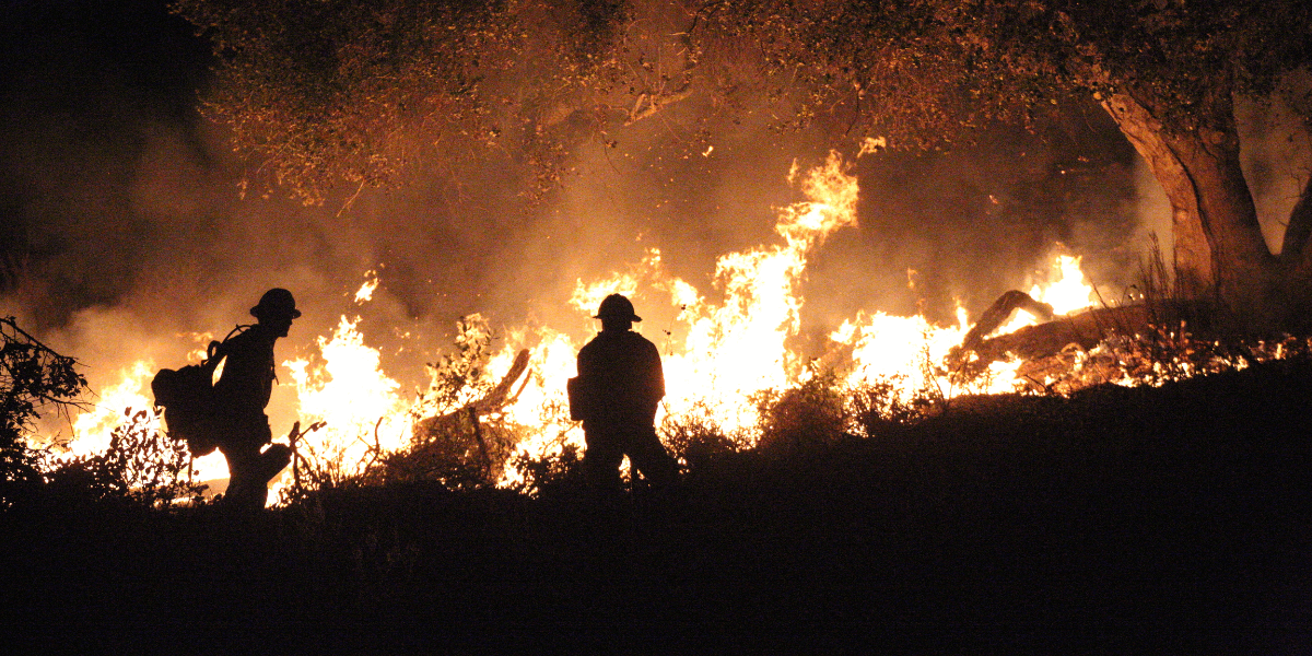
In the face of escalating wildfire threats like the January 2025 Los Angeles fires, USC Viterbi’s Information Sciences Institute (ISI) is pioneering an AI-powered surveillance system to improve early wildfire detection, potentially saving property and life.
“The earlier you can detect a fire, the less damage there will be,” says Andrew Rittenbach, a computer scientist at ISI leading the project alongside research director John Paul Walters. “This could be an opportunity to make a big difference.”
The team’s technology addresses a weakness in current wildfire detection: the limitations of satellite monitoring. Currently, satellite systems either provide infrequent coverage — passing over the same location only every few days — or deliver such low-resolution imagery that small fires go unnoticed until they’ve grown dangerous and can be spotted with the human eye.
The challenge is particularly acute in what firefighters call the wildland-urban interface (WUI), where suburban neighborhoods meet natural landscapes. In these areas, which are common throughout Southern California, current detection systems can be fooled by reflective surfaces like rooftops and solar panels, generating false alarms up to 30% of the time.
ISI’s solution is a novel artificial intelligence system that analyzes satellite imagery in real-time, distinguishing actual fires from false signals with greater accuracy. The system uses deep learning algorithms to process images captured across different wavelengths of light, enabling the creation of fire maps with unprecedented accuracy. By leveraging this technology, the team aims to achieve a 95% fire detection rate while reducing false alarms to just 0.1%, a significant improvement over current physics-based detection systems.
Ultimately, the researchers’ goal is to integrate their AI algorithms directly into satellites, enabling real-time fire detection from orbit. While ambitious, this vision is becoming increasingly feasible with the expansion of large-scale commercial satellite constellations in both radar and multispectral imaging, Walters said.
By processing data onboard, satellites could detect fires instantly, eliminating the costly and time-consuming process of transmitting imagery to Earth for analysis. However, until that is possible, the ISI team views existing commercial satellite data as an opportunity to accelerate fire detection and improve response times.
Overall, the project envisions a comprehensive approach to fire detection, combining multiple imaging and sensing technologies for maximum effectiveness. “We look at this as a heterogeneous system, one that could combine things like satellite imagery with high altitude unmanned aerial vehicles, which gives us the ability to be adaptive,” Walters said.
For firefighters, this integrated approach could provide the crucial early warning needed to contain blazes before they become catastrophic.
Published on March 25th, 2025
Last updated on March 25th, 2025